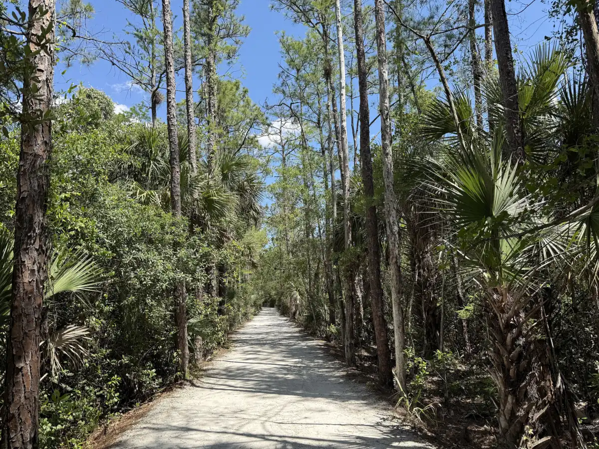
Walking and biking trails in Palm Beach Gardens: Loxahatchee Slough's 13,025 acres, the Jeaga Wildways, Frenchman's Forest and the city's park loops, with distances.
Last checked Oct. 9, 2026. Facts come from Palm Beach County Environmental Resources Management’s Loxahatchee Slough, Frenchman’s Forest and Juno Dunes pages, Palm Beach County Parks’ Riverbend Park page and the City of Palm Beach Gardens trail maps and engineering pages.
Palm Beach Gardens has the biggest natural area in the county on its western edge: the Loxahatchee Slough, 13,025 acres of pine flatwoods, marsh and swamp at the headwaters of the Loxahatchee River, with a paved trail, sandy hiking trails and a long multiuse trail for bikes. Closer to the center of the city, Frenchman’s Forest and four park loops give shorter walks. All county natural areas are open sunrise to sunset, every day.
Who to call
- County natural areas: Palm Beach County Environmental Resources Management, natural areas
- City park loops: Palm Beach Gardens Recreation Department, 561-630-1100
- Burns Road bike track: City Engineering, 561-804-7013
At a glance
| Trail | Where | Length and surface | Bikes? |
|---|---|---|---|
| Loxahatchee Slough, main entrance | 11855 Beeline Highway | Paved trail plus natural-surface hiking trails to a pier and tower | Multiuse trails only |
| Jeaga Wildways, east of the C-18 Canal | From 8175 PGA Blvd. | Paved south of PGA Boulevard, shell rock north | Yes |
| Loxahatchee Slough kayak trail | 8311 PGA Blvd. | 2 miles one way, by water | No |
| Frenchman’s Forest | 12201 Prosperity Farms Road | 0.4 miles paved; 2.5 miles sandy | No |
| Riverbend Park, Jupiter | 9060 Indiantown Road | Nearly 10 miles of shell rock | Yes |
| Juno Dunes, west tract | 14501 U.S. Highway 1, Juno Beach | 0.21 miles paved; 3.9 miles sandy | No |
| City park loops | Four parks | 0.40 to 0.98 miles | Walking |
Loxahatchee Slough Natural Area
The county calls the Loxahatchee Slough its largest and most biologically diverse natural area. It lies north and south of PGA Boulevard about 2.2 miles west of Florida’s Turnpike and preserves nine native Florida ecosystems. The county warns that it gets very wet for hiking in summer and fall: bring mud boots or stay on the multiuse trails. Four ways in:
- Main entrance, 11855 Beeline Highway. Large parking area, kiosks, a paved hiking trail, an accessible covered observation platform, accessible restrooms, and natural surface trails to a fishing pier and an observation tower. Part of the Ocean to Lake Hiking Trail passes through.
- Karen T. Marcus Sandhill Crane Access Park, 8175 PGA Blvd. Parking, an observation tower and restrooms, with access to the Jeaga Wildways multiuse trail along the east side of the C-18 Canal, paved south of PGA Boulevard and shell rock to the north.
- Kayak and canoe launch, 8311 PGA Blvd. A 2-mile, one-way paddling trail on the west side of the C-18 Canal. Catch-and-release fishing is allowed.
- Riverbend Park, 9060 Indiantown Road, Jupiter. Two long-distance Jeaga Wildways multiuse trails run into the natural area from the park’s southeast corner.
Rules for riders: bikes stay on the designated multiuse trails; hiking-only and equestrian-only trails branch off them. Cyclists yield to horses: announce yourself, ask the rider how to pass and keep talking. Helmets are required for riders under 16.
Frenchman’s Forest Natural Area
Frenchman’s Forest, 12201 Prosperity Farms Road, is a county natural area in the east of the city, normally open sunrise to sunset. The county says it is temporarily closed for final trail maintenance; check its page before you go.
| Trail | Surface | Length |
|---|---|---|
| Blazing Star Trail | Paved | 0.4 miles |
| Saw Palmetto Trail | Sandy | 1.3 miles |
| Staggerbush Trail | Sandy | 0.6 miles |
| Archie’s Creek Trail | Sandy | 0.6 miles |
Riverbend Park, Jupiter
Riverbend Park, 9060 Indiantown Road, covers about 645 acres along the Loxahatchee River, about six miles north. It has nearly 10 miles of compacted shell-rock trails for biking and walking, nearly 7 miles of equestrian trails, 5 miles of waterways for canoes and kayaks and part of the Ocean-to-Lake Trail. It is open sunrise to sunset. Dogs are not allowed in the park, except service animals.
Juno Dunes Natural Area
The 569-acre Juno Dunes runs from the ocean to the Intracoastal Waterway. The oceanfront tract, 14200 U.S. Highway 1, sits atop an ancient sand dune; parking is at Loggerhead Park. The west tract, 14501 U.S. Highway 1, has the Sawgrass Trail (paved, 0.21 miles), the Scrub Oak Trail (sandy, 1.8 miles to the Intracoastal) and the Scrub Hickory Trail (sandy, 2.1 miles).
City park loops
The city posts a map of each loop on its trail maps page:
| Park | Loop |
|---|---|
| Lilac Park, 4175 Lilac St. | 0.49 and 0.98 miles |
| Oaks Park, 10666 Gardens East Drive | 0.65 miles |
| Burns Road Park, 4404 Burns Road | 0.44 miles |
| Lake Catherine Lakeside Park, 9481 MacArthur Blvd. | 0.40 miles |
Pets are not allowed in city parks.
On-street biking: the Burns Road cycle track
The city’s Burns Road Bicycle Mobility Improvements add a separated two-way bicycle track, about 0.84 miles long, on the south side of Burns Road, with a raised separator and high-visibility bike lanes. The FDOT-administered grant project started construction in March 2025, with completion anticipated in October 2025, according to the city’s page.
What this means for you
- Longest rides: the Jeaga Wildways from Sandhill Crane Access Park, or Riverbend Park.
- Short walks: the city loops, all under a mile.
- Summer and fall: expect mud on the slough’s hiking trails.
More: parks and trails, dog-friendly Palm Beach Gardens and getting around.
Frequently asked questions
Where can I go hiking in Palm Beach Gardens?
Loxahatchee Slough Natural Area, Palm Beach County’s largest natural area, has its main entrance at 11855 Beeline Highway, with paved and natural trails, a fishing pier and an observation tower. Frenchman’s Forest on Prosperity Farms Road is smaller.
Where can I ride a bike on a trail in Palm Beach Gardens?
The Jeaga Wildways multiuse trail runs along the east side of the C-18 Canal from Sandhill Crane Access Park, 8175 PGA Blvd. It is paved south of PGA Boulevard and shell rock to the north.
What are the walking loops in Palm Beach Gardens parks?
Lilac Park has loops of 0.49 and 0.98 miles, Oaks Park 0.65 miles, Burns Road Park 0.44 miles and Lake Catherine Lakeside Park 0.40 miles. The city posts a map of each on its trail maps page.
Can I bring my dog on Palm Beach Gardens trails?
Not in city parks, where pets are banned. Dogs are allowed on a six-foot leash in most county parks but not in Riverbend Park.
Have your say